Autonomous River Surveying in Munich
Accurately measuring depths of riverbeds has traditionally been a resource-intensive process, requiring crewed boats, onboard sonar equipment, and multi-person field teams. To optimize their hydrographic operations, Geo-DV turned to the Sonobot 5 USV engineered for autonomous bathymetric mapping and environmental monitoring.

The Sonobot 5 USV surveying the Isar near a weir in central Munich. Source: EvoLogics
Autonomous Hydrographic Mapping: The Sonobot 5 USV navigated pre-planned survey lines along the river Isar, systematically measuring riverbed depths with high spatial accuracy.
Flexible & Safe Deployment: Designed for challenging inland waters, the lightweight vehicle enables single-person transport and safe operation even in shallow or hard-to-reach river sections.
Significant Resource Savings: Compared to conventional methods using crewed vessels, the compact USV allowed Geo DV to execute the survey with significantly reduced setup time and minimal field staff.
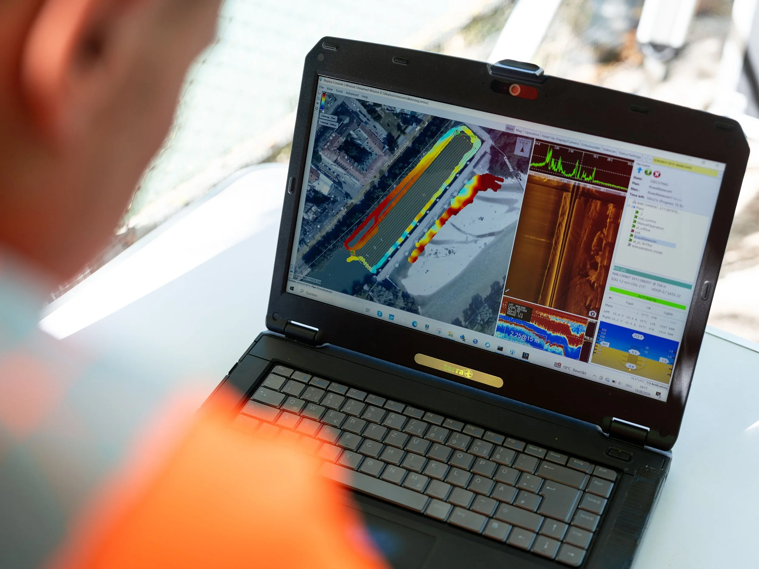
Sonobot USV Data preview during the survey