
BUVI Scandinavias NEWS
Search for a specific weekly news
Sign up with your email address to receive 2-4 Newsletter per year.

Summer Greeting from BUVI Scandinavia
Throughout the summer period, BUVI Scandinavia will remain available to support you and your projects

Official Notice Published on Swedish Defence Materiel Administration (FMV) Website
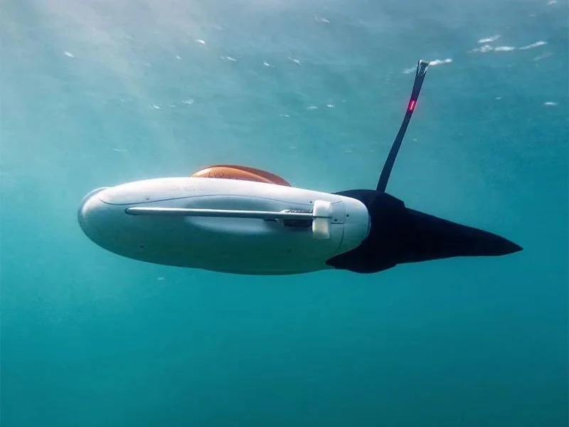
The Swedish Defence Materiel Administration (FMV) has signed a contract with BUVI Scandinavia AB to deliver EvoLogics’ unmanned surface vessel Sonobot 5 to the Swedish Armed Forces. The vessel will primarily be used within the field engineering domain to survey waterways before the establishment of floating bridge systems. The contract value is 43 million SEK, including options.
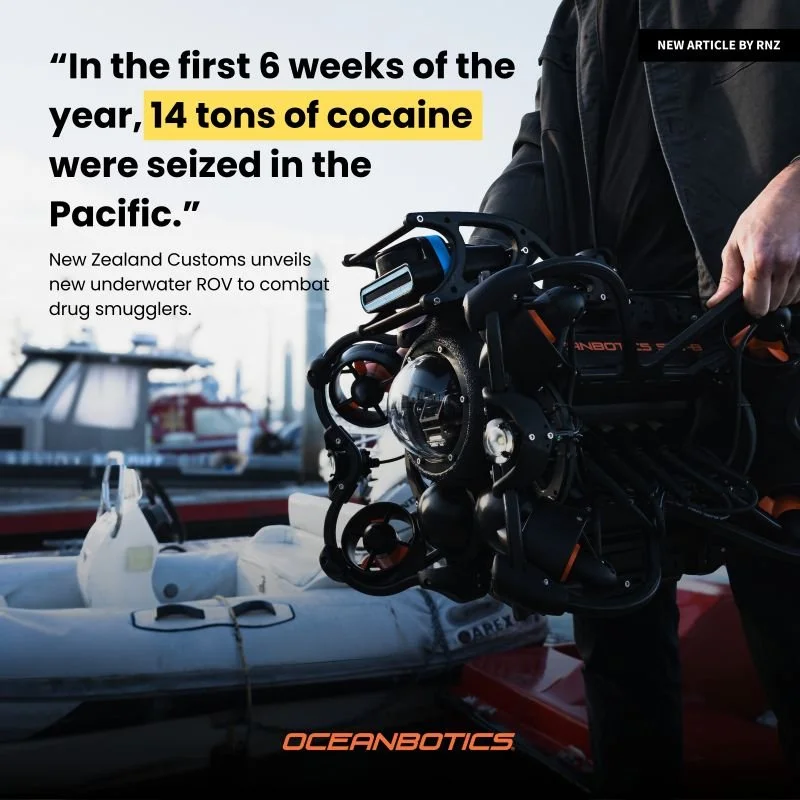
Customs unveils underwater tech to combat smugglers
New Zealand Customs Service is officially deploying three Oceanbotics ROVs to target illicit smuggling operations.
Minister Casey Costello said organised crime had been targeting the region as a transit hub. "In the first six weeks of this year, a staggering 14 tonnes of cocaine were seized in the Pacific," she said. From the Article in RNZ National

AI Technologies are available as an add‑on option for USVs and AUVs
AI-based systems enable automatic object detection and collision-free navigation for EvoLogics autonomous vehicles. Ensuring safe navigation in dynamic environments is critical for autonomous marine vehicles. The AI-powered obstacle avoidance system enables our USVs and AUVs to detect and avoid obstacles in real time, maintaining mission efficiency while minimizing risk.
BUVI Scandinavia has signed a Contract with the Swedish Defence Materiel Administration
Press release
BUVI Scandinavia has secured a contract with the Swedish Defence Materiel Administration to deliver Evologics’ Sonobot 5 unmanned surface vessel (USV) to the Swedish Armed Forces.
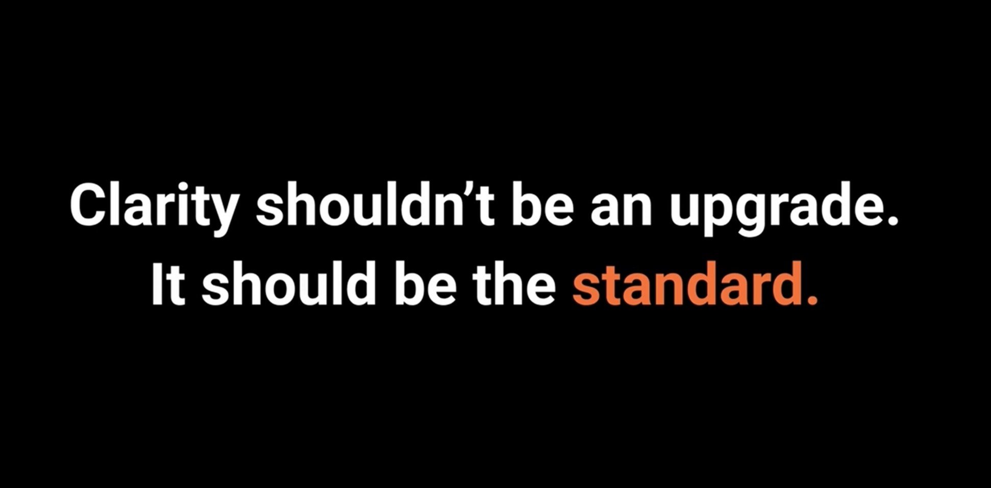
4K Now Standard on All SRV‑8 ROVs
We are proud to announce the next evolution of Oceanbotics ROVs: 4K brilliance is now standard across every SRV 8 series model. Crisp, clear underwater vision for every mission. Unmatched detail for research, inspection, and exploration.
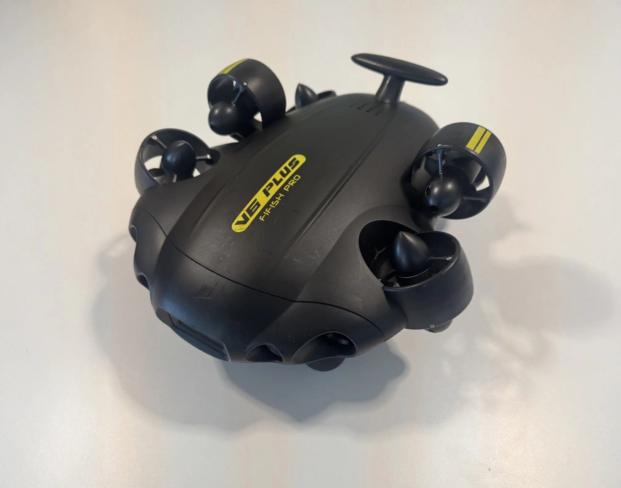
Used Underwater ROV System – Now Available for Sale
A well‑maintained and fully operational used ROV system is now available for purchase. This unit has been lightly operated and carefully serviced, making it an excellent opportunity for organizations seeking a reliable and cost‑effective solution
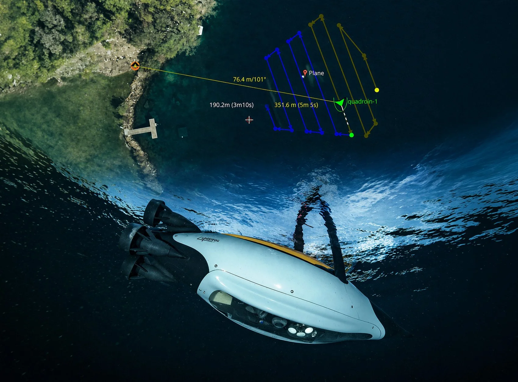
The Quadroin autonomously executes pre-programmed missions.
Quadroin AUV collecting data along its waypoint grid. It is equipped with a side-scan sonar, a downward-looking full-HD camera, and an AI-based object recognition module for detailed visual documentation and detection of submerged assets.
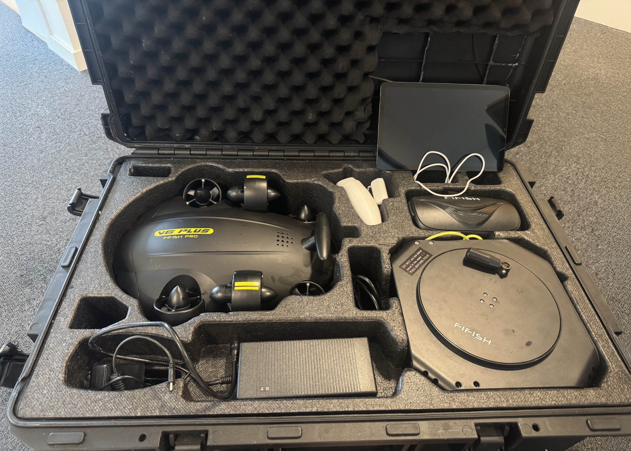
A used Fifish V6 PLUS ROV is now available for sale.
The ROV is approximately 4 years old and has been lightly used, with an operating time of around 100 hours.
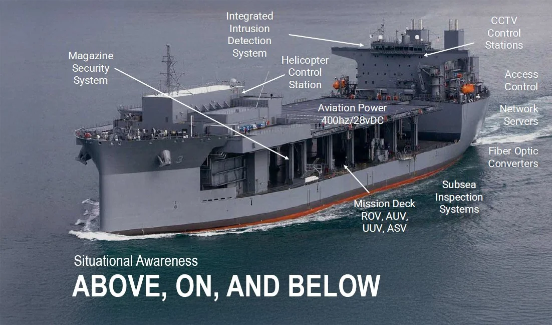
Situational Awareness – Above, On, and Below
Facilities CCTV Systems
BUVI Scandinavia delivers advanced CCTV solutions through our partnership with Sidus Solutions. Their technology provides reliable situational awareness in every environment — whether above, on, or below — supporting inspection, monitoring, and high‑security surveillance operations.
EvoLogics Poggy AUV
EvoLogics’ Poggy AUV is a cutting-edge autonomous underwater vehicle designed for advanced surveying, marine exploration and monitoring.

Happy Easter from BUVI Scandinavia!
As spring awakens, we send warm wishes to all our customers and suppliers. May this season of renewal bring joy, peace, and new opportunities.
NEW in the SRV‑8 ROV Serie: SRV-8C ROV, Compact, Professional, Delivering Full‑Scale Performance
SRV-8C ROV - Compact With Full‑Size Performance. The SRV‑8C is engineered to be “small but mighty,” offering the same advanced control, stability, and thrust performance that the SRV‑8 & SRV-8X is known for. Read more and see the movie

Thanks to all we met during Oceanology International
BUVI Scandinavia extends a sincere thank you for the inspiring conversations and valuable connections made at Oceanology International in London. Meeting suppliers, partners, and customers in person was truly energizing, and we look forward to keeping the dialogue alive. See the movie
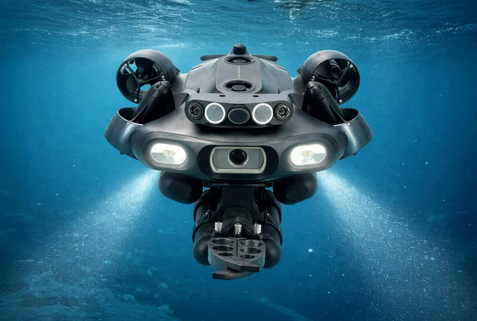
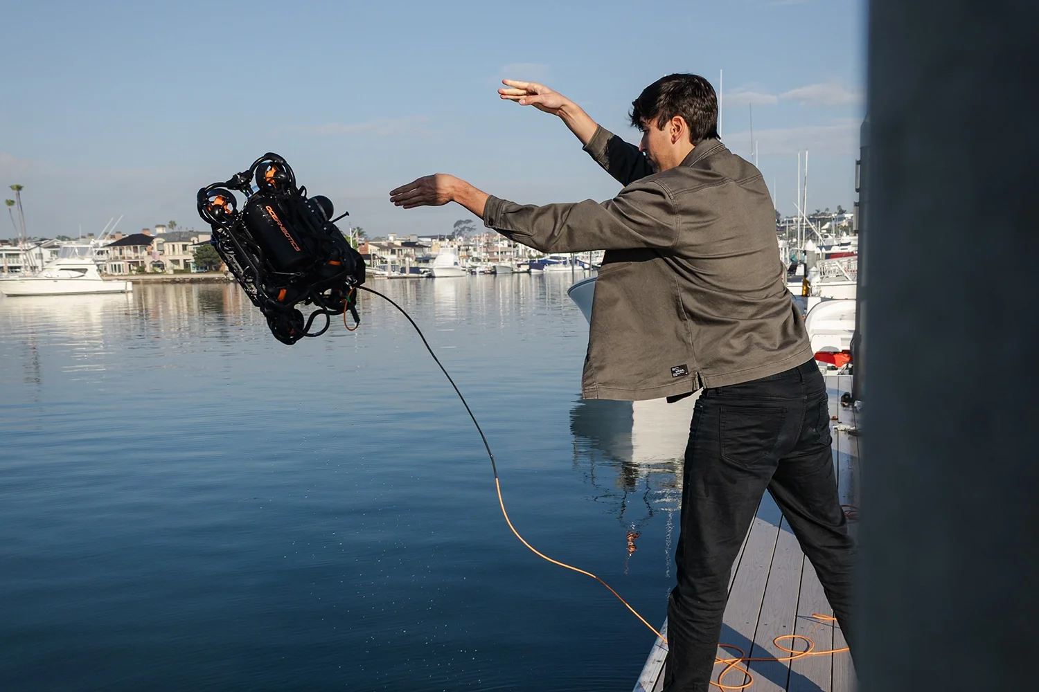
Modular AI ROV Solutions for Reliable Subsea Operations
The E-MASTER ROV is a revolutionary industrial AI underwater ROV. With advanced sensors and sonars, it ensures unmatched accuracy and reliability. Its modular design allows for quick and efficient component changes, including accessory swaps and power replacements.
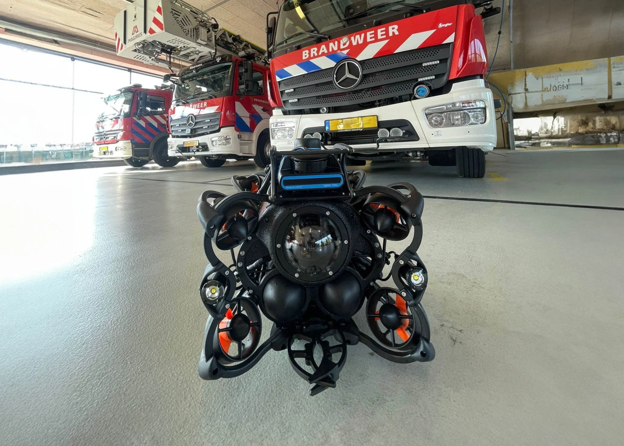
BUVI Scandinavia Delivers SRV‑8 ROV System to Another Dutch Safety Region
BUVI Scandinavia has successfully delivered Oceanbotics SRV‑8 ROV System to another Dutch Safety Region / Fire & Rescue Service — Veiligheidsregio IJsselland. This delivery further strengthens the region’s underwater search and rescue capabilities with one of the most advanced and user‑friendly ROV platforms on the market.
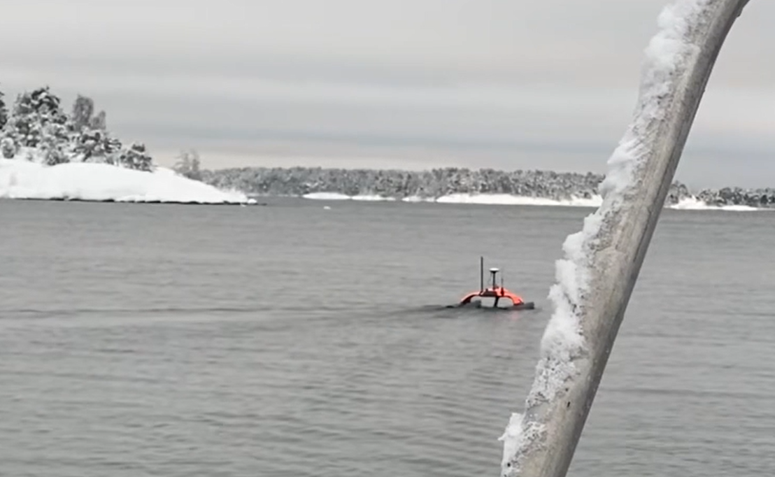
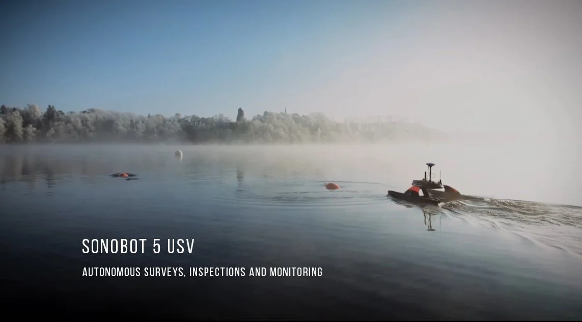
Reliable Surveying Power—Even in Winter Conditions
The Sonobot 5 performs flawlessly even in winter climates: during survey, the battery sustained an uninterrupted 8‑hour mission in temperatures between –6 and –9°C. This reliability makes it a trusted solution for professionals who require dependable results, regardless of the environment. See the movie

Tomorrow is Valentine's Day
Tomorrow is Valentine's Day - we at BUVI Scandinavia are taking the opportunity to send a greeting today. Valentine's Day is a perfect reminder of the power of kindness, contact and appreciation…
Friday Update from BUVI Scandinavia – Why Partner With Us?
As we close another productive week, we want to highlight what makes collaboration with BUVI Scandinavia so valuable — whether you are a customer looking for reliable subsea solutions or a manufacturer seeking a strong, global partner.
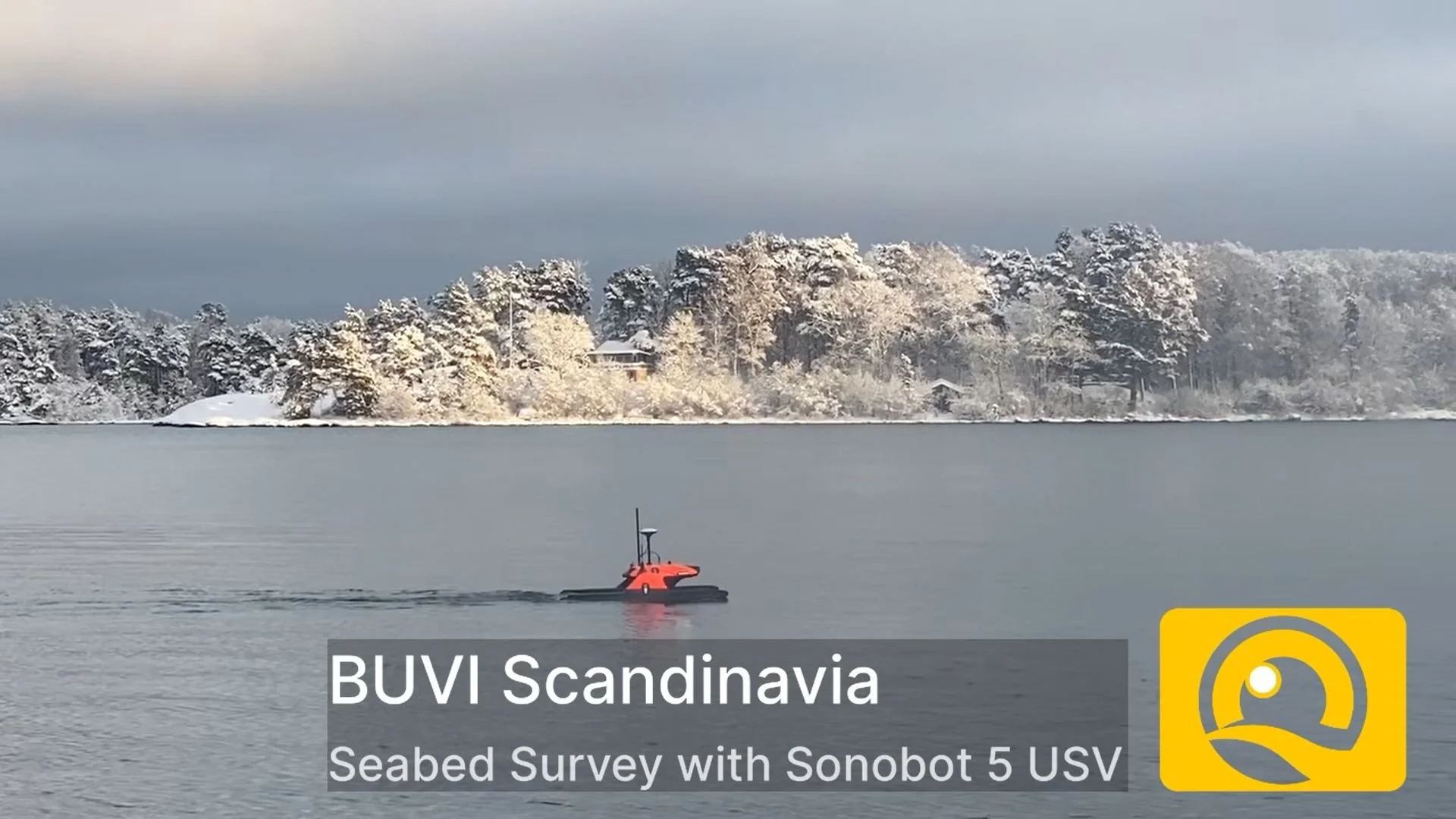
Seabed Survey with Sonobot 5 USV Ahead of Subsea Cable Installation
BUVI Scandinavia began in 2026 by conducting a seabed survey using the Sonobot 5 USV, equipped with high‑resolution side scan sonar, in preparation for an upcoming subsea power cable installation. See the movie